Google Maps can be useful to navigate through a new location or place. This article will show you how to change the date on a location on Google Maps so you can go back in time. If you’re using Google Maps, you can view Street View images from previous dates easily in your web browser.

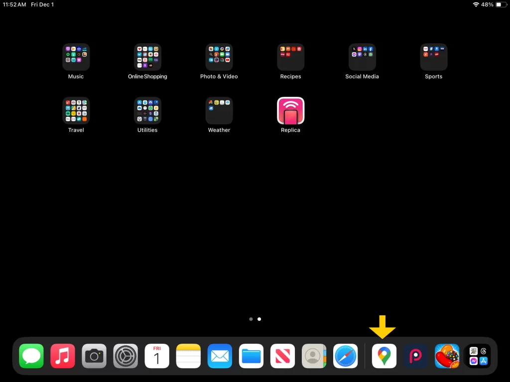
Open Google Maps.

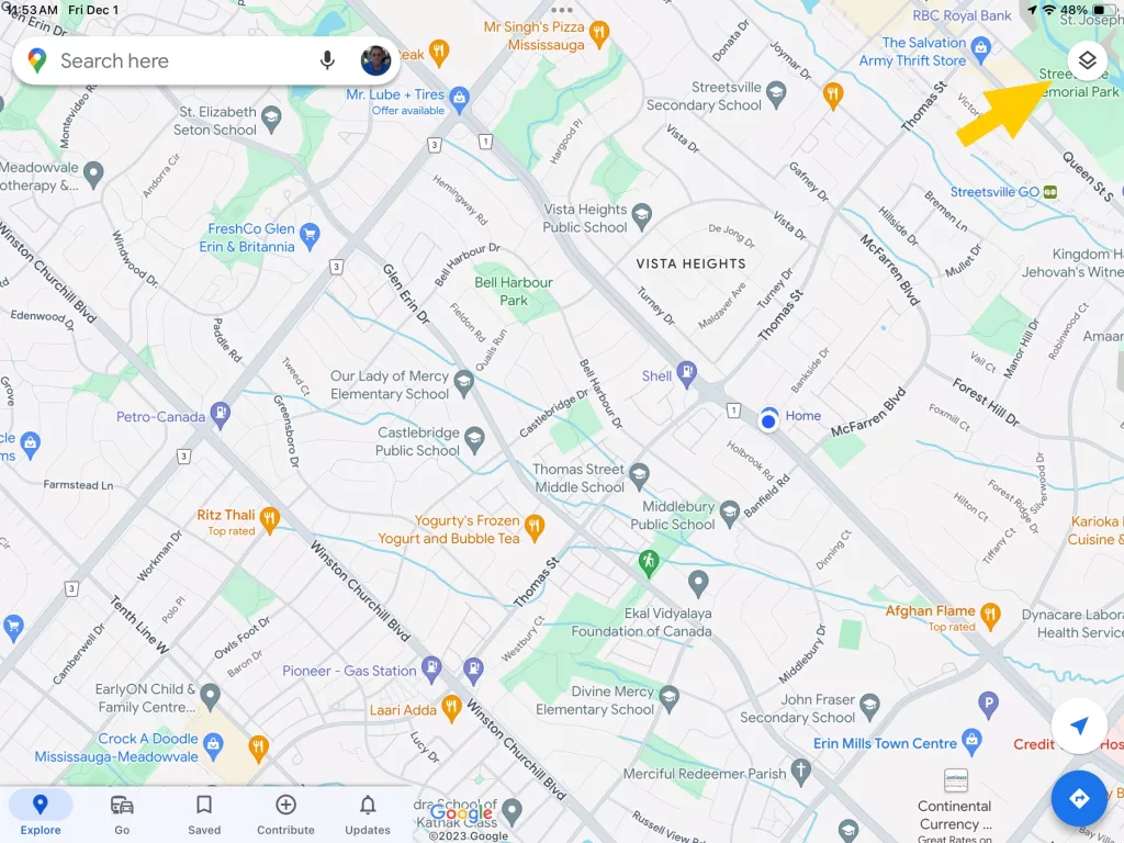
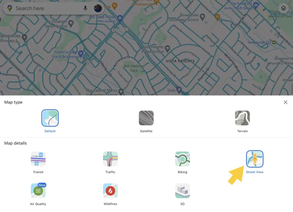
Select Street View function of Google Maps.
Note: Google cars equipped with specialized camera equipment drive the road networks of a variety of countries, taking 360° photos to aid in navigation and exploration. Google Maps allows you to see everywhere that Street View is available.

Identify location
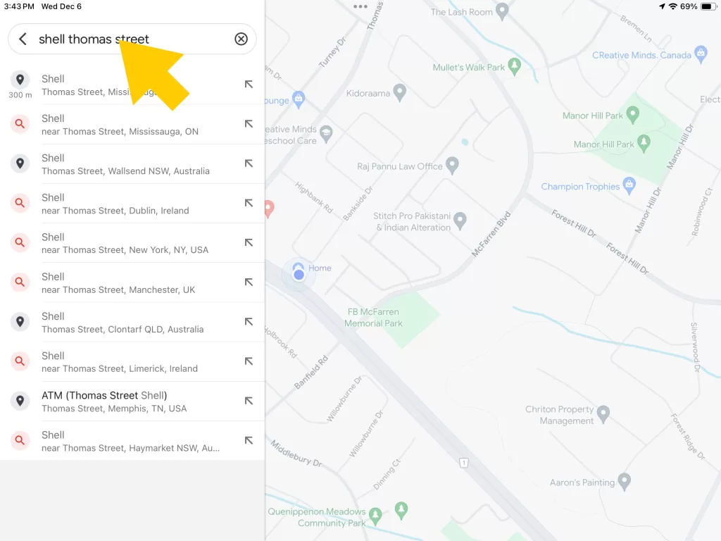
- Type in location you want to find historical pictures for. Note: depending on location you choose there may or may not be historical images available to display.
- A list of possible results will drop down. Click your selection, and the map will automatically put a pin where the location is on map.
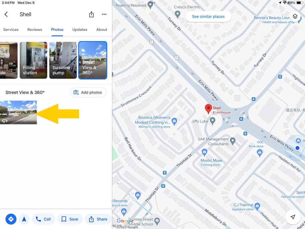
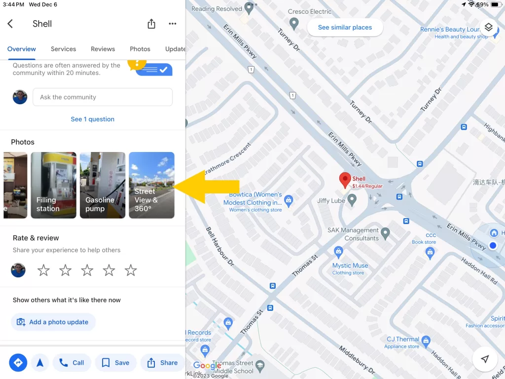
- On left side you will see a section will images. Scroll through and find the 360 degrees image and click on it.

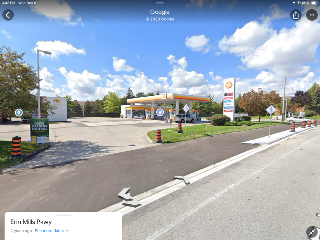
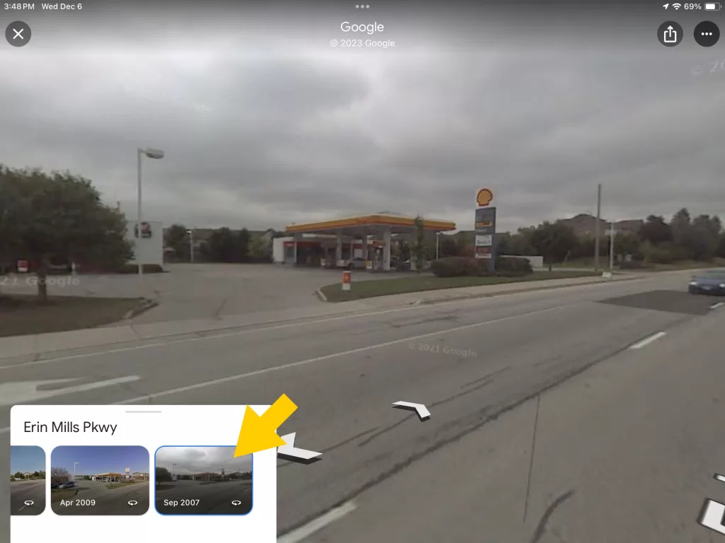
Display Historical images